Last reviewed October 2026.
Pasadena geology at a glance
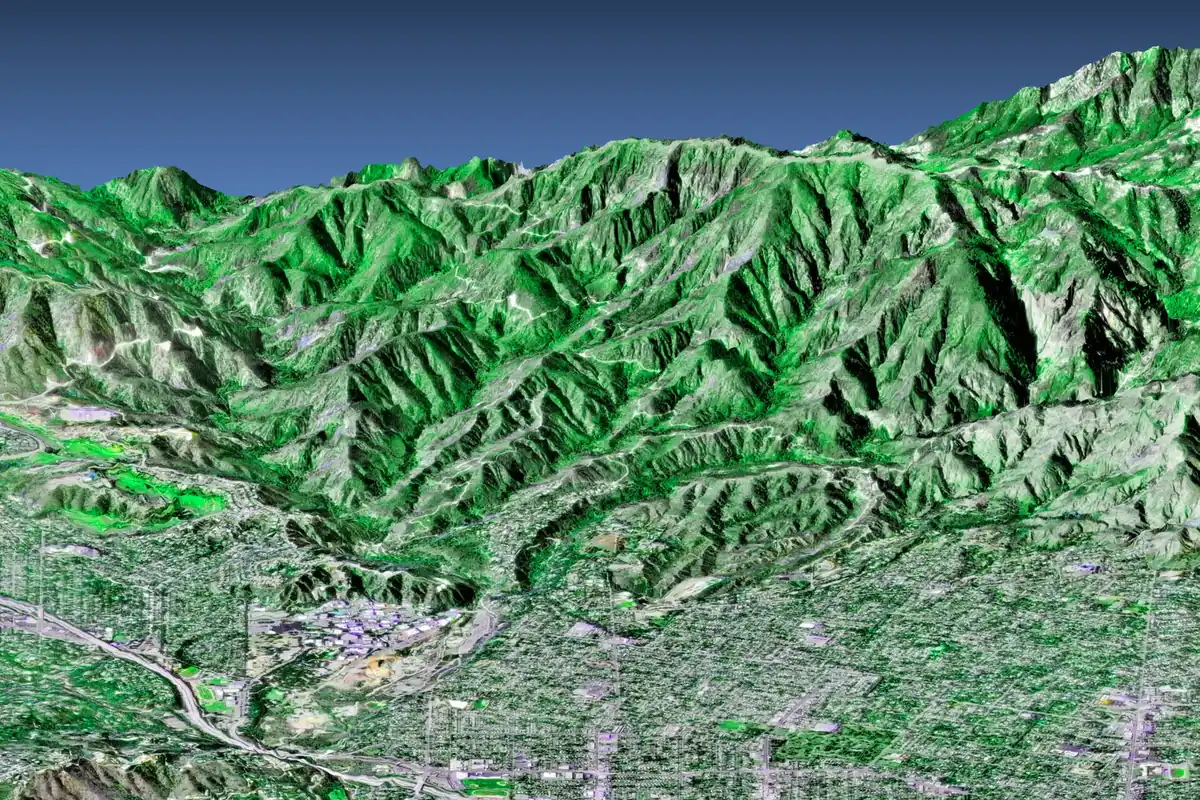
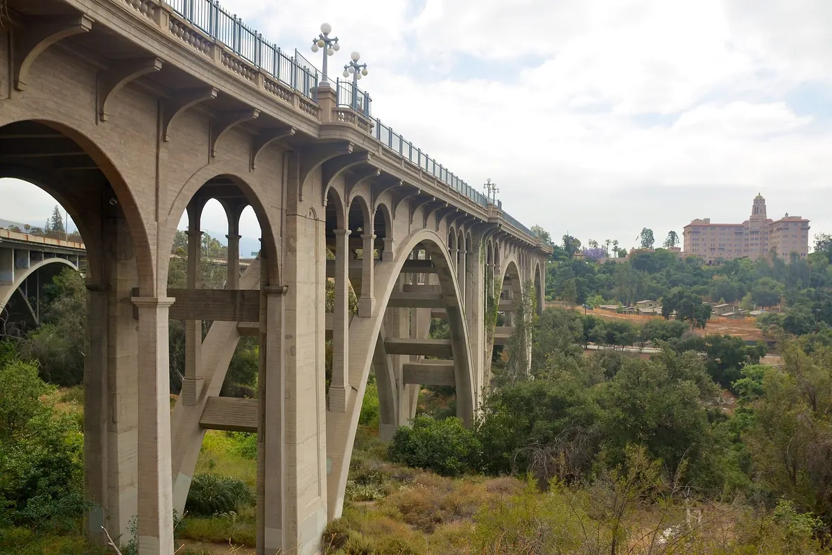
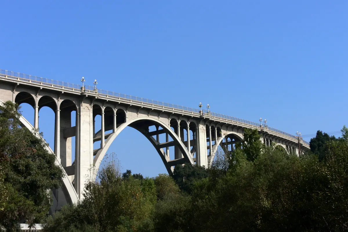
NASA's 3-D view of the area shows the setting plainly: the San Gabriel Mountains rise abruptly along the north, and Pasadena's street grid spreads south from their base. On the west, the Arroyo Seco cuts a wide, brushy channel through the city, crossed by the Colorado Street Bridge, a concrete arch bridge that opened in 1913, runs 1,467.5 feet and has been on the National Register of Historic Places since 1981.
| Feature | What is known | Source |
|---|---|---|
| San Gabriel Mountains | Rise along the north edge of the city | NASA 3-D perspective image |
| Arroyo Seco | Channel on the city's west side, spanned by the Colorado Street Bridge | Wikipedia |
| Colorado Street Bridge | Concrete arch bridge, opened 1913, 1,467.5 ft, National Register 1981 | Wikipedia |
| Raymond Fault | Branches from the San Andreas in the San Gabriels; forms Raymond Hill | Wikipedia |
| Hillside soils, LA region | Expansive clays and old landslide debris common | constructlytools, 2026 |
| Soil series under Pasadena | Not confirmed for this guide | Look up your lot on Web Soil Survey |
Swipe the table sideways to see every column →
The Raymond Fault
Wikipedia's entry on the Raymond Fault traces it from the San Gabriel Mountains, where its eastern end branches from the San Andreas Fault, west through the San Gabriel Valley and on through San Marino and South Pasadena, where it forms Raymond Hill, the hill the fault is named for. It is one of the reasons foundations and hillside walls in this area are engineered to California's seismic provisions rather than built by rule of thumb. This guide makes no claim about distances or hazard ratings for any particular lot; the California Geological Survey's maps and the engineer of record answer that.
What Pasadena soil means for concrete
Driveways, patios and walks
Flatwork fails from below more often than from above. Topsoil, roots, old fill and soft spots under a slab compress or move, and the concrete cracks over them. The fix is the same almost everywhere in Pasadena: strip soft and organic material, build a compacted base and slope the slab so water doesn't get under it.
Foundations and ADUs
A concrete foundation or an ADU foundation is designed from the soil, not the other way around. Where the ground is uncertain, the engineer asks for a soils report before sizing footings.
Hillside walls
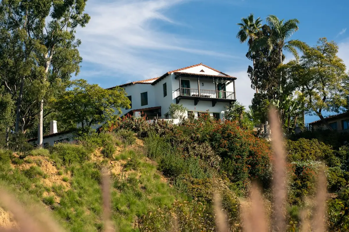
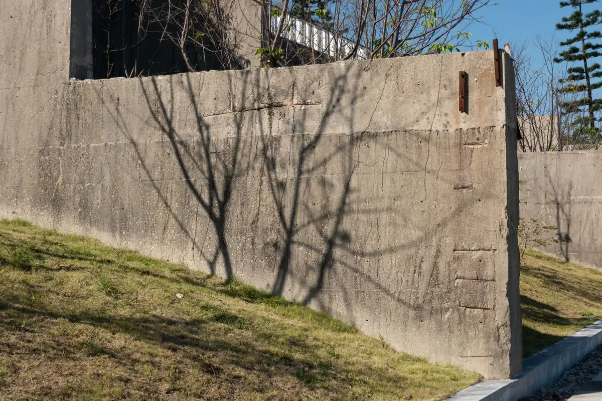
On slopes, soil and water together decide whether a retaining wall stays put. constructlytools' Los Angeles guide (updated May 19, 2026) notes expansive clays and old landslide debris are common in the region's hillside soils, which is part of why Pasadena regulates hillside grading separately; see the hillside permit guide.
How to look up the soil under your own lot
- Open the USDA Web Soil Survey and start the free viewer.
- Find your address and draw an area of interest around the lot.
- Open the Soil Map tab to see which soil map units cover it.
- Use the Soil Data Explorer for properties that matter to concrete, such as drainage class and shrink-swell behavior.
- For a foundation or a wall, hand the result to the engineer; it is a starting point, not a soils report.